
Mapping Trinity Cemetery: Tracing the Roots of Gore’s Irish Settlers
Mapping a cemetery is more than a clerical task—it is an act of remembrance. Each stone represents not just an individual, but a chapter in the long and often difficult story of settlement in Quebec’s Laurentian region. By recording and preserving these markers, we help ensure that future generations can connect with the roots of this community.
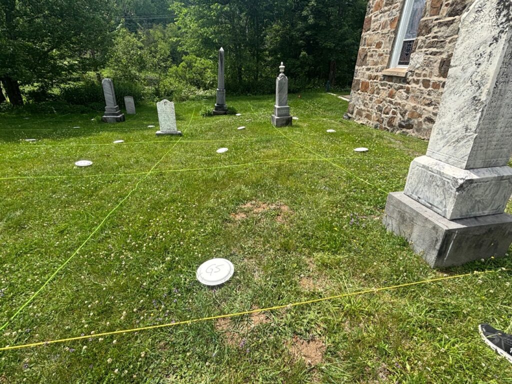
This summer, a group of us undertook the careful task of mapping Trinity Cemetery at Lakefield, located in the Township of Gore, Quebec. Nestled among forested hills and quiet fields, this cemetery is more than a final resting place—it is a living record of the Irish Protestant settlers who first came to this region over two hundred years ago.
This summer, a group of us undertook the careful task of mapping Trinity Cemetery at Lakefield, located in the Township of Gore, Quebec. Nestled among forested hills and quiet fields, this cemetery is more than a final resting place—it is a living record of the Irish Protestant settlers who first came to this region over two hundred years ago.
The story of Trinity Cemetery is a story of perseverance—of people who were nearly forgotten by history but who left a lasting mark on the land they fought to call home.
A Forgotten Journey
The story of these settlers begins in 1818, when families from Counties Sligo and Mayo in Ireland arrived in Quebec. They were part of a wave of immigration encouraged by British colonial policies following the Napoleonic Wars. Upon arrival, these immigrants were directed to the remote Township of Wentworth, where they were promised land under the settlement ticket system.
However, when they arrived, they found the land had not yet been surveyed. With no legal claim and no homesteads ready, they were forced to wander, using what little resources they had left. Eventually, they took shelter in a stretch of unclaimed land behind the Seigneury of Argenteuil—land that had not yet been officially divided or granted. This area was known as the “Government Waste Land.”
With winter approaching and nowhere else to go, the settlers built crude shelters—shanties—out of timber and earth. In 1826, thirty-three settlers signed a petition to the Governor General of Canada, His Excellency, asking for the right to remain on the land and to receive title to it once surveys were completed. That petition still survives, and many of those names can now be found etched into the stones of Trinity Cemetery.
The Mission of Gore
In 1838, the settlers built a wooden church to serve the growing Protestant Irish community. At the time, the parish was known simply as the Mission of Gore. When the Township of Gore was officially established in 1840 as part of Argenteuil County, the church became a permanent fixture in the settlement’s social and spiritual life.
By 1859, the congregation had outgrown the wooden structure and completed the construction of a stone church, which remains in use today. In 1881, the parish was officially renamed the Parish of Lakefield, though the name “Gore” has remained closely tied to the community’s identity.
Mapping History
Our cemetery mapping project began with the goal of creating a comprehensive record of the individuals buried at Trinity. What we discovered was more than names and dates—we uncovered stories of resilience, hardship, and faith.
Many of the surnames found in the cemetery—Parker, Thompson, Cavanagh, McClure—can be traced back to those early Irish petitioners. These are families who endured immense difficulty upon arrival, survived brutal winters, and helped shape the foundations of this township. The Parker Family History, for example, documents the family’s origins in Ireland and their settlement in Gore, providing valuable insight into the broader community experience.
Learn more about the mapping process.